
Introduction to the H3 System
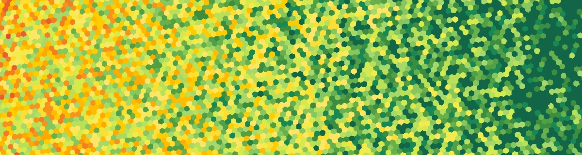
The physical representation of the world in Terra Engine relies on H3, a hexagonal grid system developed by Uber for geographic indexing. This technology partitions the Earth's surface into uniform hexagonal cells:
H3 system illustrating the progressive division of the globe into hexagonal cells of various sizes.
Why Model the World with a Hexagonal Grid?
Dividing the world into regular units facilitates calculations and interaction management between zones. It also enables efficient simulation of complex phenomena at large scale.
The choice of hexagonal shape, rather than square or triangular, is based on several major advantages:
In conclusion, the hexagonal grid offers the best compromise between realism, performance, and simplicity for modeling the world.
Use Cases
Damage Simulation
The hexagonal mesh allows calculating damage based on event intensity and each cell's vulnerability. The system takes into account population density and local infrastructure to estimate human and material losses.
The capture illustrates damage propagation on hexagonal cells: damage is maximal at the center (for example, at the epicenter of an explosion) and gradually decreases with distance.
Territory Generation
H3 also serves to shape territory boundaries. The system automatically converts GeoJSON from open data sources into hexagonal cells, producing clean and continuous boundaries. This method ensures consistent and accurate territorial representations without overlaps or gaps between adjacent territories.
Representation of territory and country boundaries in Latin America.
Geospatial Phenomenon Modeling
The H3 system uses hexagonal cells to model the shape and trajectory of phenomena such as tropical cyclones and earthquakes. This approach allows simulating the impact of these events by precisely identifying the most affected areas. For tropical cyclones, the storm shape is built from hexagonal cells and scales with intensity, shaping how damage and casualties spread across the grid. The video below showcases Terra Engine v0.0.14 simulating major natural disasters from 2000 to 2025—earthquakes, tropical cyclones, and volcanic eruptions—using real scientific data (including broad historical catalogs such as IBTrACS for cyclones and GVP for eruptions) and illustrates how these forces affect populations, infrastructure, economies, and the geopolitical landscape.
Historical earthquakes, tropical cyclones (IBTrACS), and volcanic eruptions (GVP) on the hexagonal grid; impacts on populations, infrastructure, and economies.
Dynamic Cell Management
Terra Engine uses an H3 resolution fine enough to accurately model small territories and complex geospatial phenomena. This technical parameter generates a global mesh composed of more than 14 million hexagonal cells!
To ensure optimal performance, Terra Engine activates or removes hexagonal cells on demand, according to simulation needs. This dynamic management optimizes memory consumption.
Timelapse of dynamic cell management: observe the progressive creation and deletion of cells as damage occurs and reconstruction progresses after natural disasters in the Philippines.
Future Prospects and Conclusion
Terra Engine's hexagonal grid lays the foundation for robust and evolving geopolitical simulation. Soon, the H3 system will enable modeling of trade routes, production chains, and integration of military operations management, with dynamic control of territories and borders.
Subsequently, this mesh will allow adding advanced features: strategic infrastructure modeling, resource management, population flows, and other geopolitical systems requiring high geographic precision.